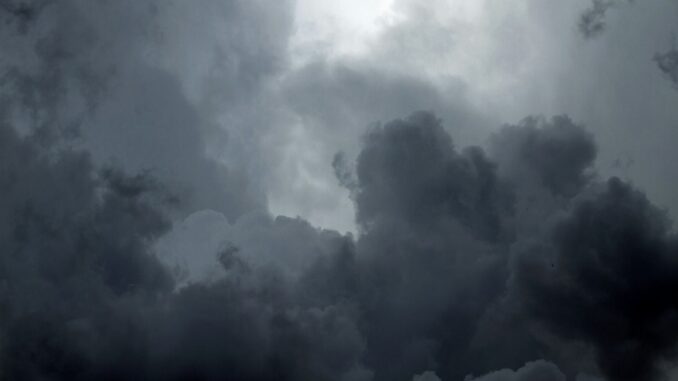
Hurricane tracker tells us that Helene developed in the Caribbean is now increasing at a rapid rate. Over the next couple of hours it is expected to warm the Gulf of Mexico and head towards the United States. The state of Florida is its next location turning into a major hurricane.
Hurricane Tracker tells us what to expect?
The National Hurricane Center has issued warnings Helene will become intense becoming a Category 3 Hurricane. The Big Bend of Florida is a target for the next couple of days as Hurricane Helene is expected to hit.
According to hurricane tracker Western Carolinas will be subject to severe rainfall, flooding and strong winds. This will take place throughout Thursday 26 September to Friday 27 September.
According to Florida Governor Ron DeSantis, a state of emergency declared for 41 counties of the state. This warning helps people of Florida on what to better expect and take precautions. There are preparations and coordination taking place between the state and local police.
This hurricane is also a possible Cyclone which will bring massive shifts in weather patterns. Mainly, showers and heavy thunderstorms expected along with rainfall and flooding. Hurricane tracker tells us what could change during this severe weather shift. Hurricane Helene will supercharge from the Gulf of Mexico and collide into the US Gulf Course.
Conclusion
All people of Florida are on the verge of taking steps towards ensuring safety. The Hurricane expected to be brutal and intensify within the two days. Depicted as a Category 3 Hurricane it will bring heavy winds, thunderstorms, showers and possible floods.
Key Points
- Hurricane Helene is rapidly strengthening and heading toward Florida, expected to become a Category 3 storm.
- The National Hurricane Center warns of severe rain, flooding, and strong winds across Florida and the Western Carolinas from September 26-27.
- Florida’s Governor has declared a state of emergency in 41 counties, coordinating preparations with local authorities.


